Geometric Services
3D Scanning, Mapping & Quantities
Laser scanning, drone mapping and volume calculations for fast, detailed site data.
Overview
Capture the whole site in detail, then measure what matters.
We use laser scanning and drone mapping to capture sites and buildings quickly, then turn the data into models, maps and quantity calculations. Cut and fill volumes, stockpile measurements and progress surveys give you numbers you can rely on.
Used for large sites, complex buildings, earthworks monitoring and progress reporting.
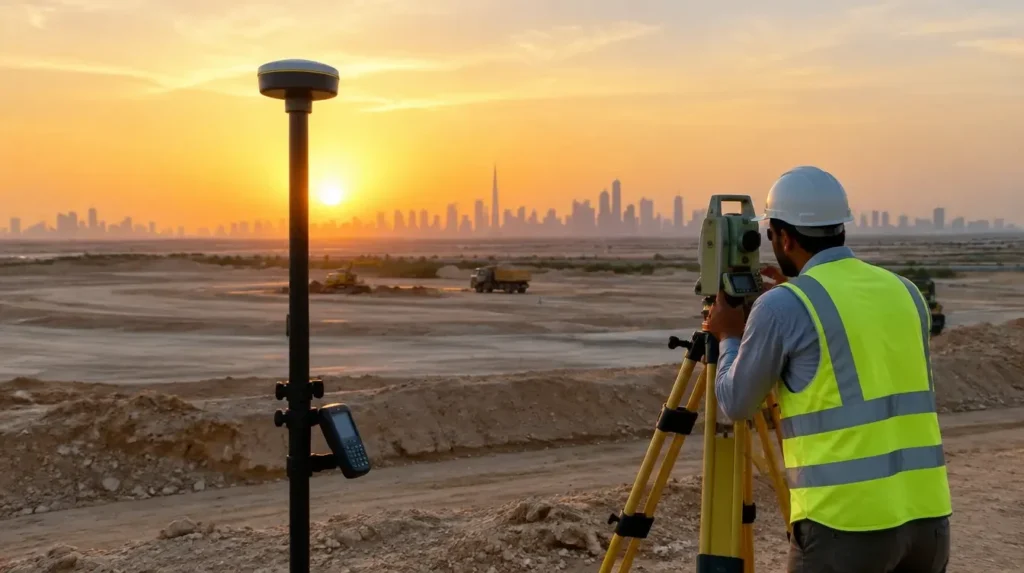 Geometric Services
Scope and capability
What we deliver
Defined scope items, coordinated by our team with the rest of the project.
Laser scanning
Detailed point-cloud capture of buildings and structures.
Drone mapping
Aerial images and models of large sites.
Volume calculations
Cut and fill, stockpile and excavation volumes.
Progress monitoring
Repeat surveys that track work over time.
Why it matters
Built around performance
Fast capture
Large areas recorded in a short time.
Rich detail
Models and maps support design and planning.
Reliable quantities
Volumes calculated from measured data.
How we work
A clear path from brief to handover
Plan
We agree the area and outputs.
Capture
Scanning and mapping on site.
Process
Data is cleaned, modelled and measured.
Deliver
You receive models, maps and quantity reports.
Deliverables
What you receive
- Point cloud and 3D model
- Orthophoto and site map
- Volume and quantity report
- Progress comparison
Suitable sectors
Questions
Frequently asked questions
Short answers to what clients usually ask before starting.
Can you map large areas?
Yes. Drone mapping covers large sites efficiently.
Can results be used in design software?
Yes. We provide standard formats for common design tools.
Start a project
Ready to discuss your project?
Share the scope, location and timeline. Our team will review it and respond with the right next step.