Geometric Services
Land & Topographic Surveying
Accurate land and topographic surveys that define site boundaries, levels and features.
Overview
Know your site precisely before you design or build.
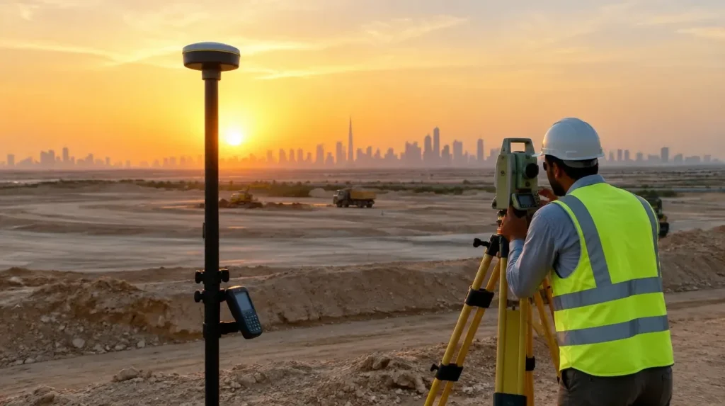
Our survey teams measure land boundaries, ground levels and existing features, producing the base data that design and construction depend on. Results are delivered as clear drawings and digital files ready for use by designers, engineers and contractors.
Used at the start of development, infrastructure and building projects, and for land planning and due diligence.
 Geometric Services
Scope and capability
What we deliver
Defined scope items, coordinated by our team with the rest of the project.
Boundary surveys
Establishing and marking plot boundaries and corners.
Topographic surveys
Levels, contours and existing site features.
Control networks
Reference points that tie the project to a reliable grid.
Utility and feature mapping
Visible services, roads, buildings and landmarks.
Why it matters
Built around performance
Reliable base data
Design starts from measured, not assumed, conditions.
Fewer surprises
Level and boundary issues are found early.
Ready-to-use files
Drawings and digital data in formats your team can use.
How we work
A clear path from brief to handover
Brief
We confirm the area and the accuracy required.
Fieldwork
Survey crews measure the site.
Processing
Data is checked and drawn up.
Delivery
You receive drawings and digital files.
Deliverables
What you receive
- Topographic plan
- Boundary plan
- Control point schedule
- Digital survey data
Suitable sectors
Questions
Frequently asked questions
Short answers to what clients usually ask before starting.
How long does a survey take?
It depends on site size and access; we confirm the timeline when we quote.
Which file formats do you provide?
We provide drawings in common CAD and PDF formats on request.
Start a project
Ready to discuss your project?
Share the scope, location and timeline. Our team will review it and respond with the right next step.